
Google Maps returned the “Street View” experience to the nation on Wednesday in an effort to improve user experience. This feature will aid in helping people explore and navigate their surroundings more correctly and aesthetically. The “Street View” service was suspended by the Indian government more than ten years ago because it was supposedly lacking the necessary security clearances.
According to corporate representatives, Google was now able to comply with the legal requirements because to India’s recently implemented geospatial policy. By obtaining data from local partners, this approach permits international map providers to offer panoramic images. In this instance, Tech Mahindra and Genesys handled all aspects of data acquisition. By the end of 2022, the service is anticipated to be offered in more than 50 Indian cities.
To address privacy issues, the Street View imagery would obfuscate people’s faces and car registration plates. In order to provide air quality data across maps, Google has also established a cooperation with India’s Central Pollution Control Board.
By zooming into a road in one of these target cities, users can launch Street View on Google Maps and tap the area they want to view. This enables users to explore their neighbourhood or learn about local eateries and cultural destinations. According to the company, “Street View will assist you in navigating and exploring new regions of the country and the world in a more visual and accurate way, allowing you to completely feel what it’s like to be in these areas, directly from your phone or computer.”
According to Google, local developers will also have access to Street View APIs, allowing them to offer richer mapping experiences in their services. Additionally, it stated that Tech Mahindra and Genesys International, a provider of cutting-edge mapping solutions, were partners in the company’s launch of this new functionality.
“We believe the launch of Street View in India will be instrumental in delivering a more helpful user experience, from virtually visiting locations to getting a better sense of local businesses and establishments,” Miriam Karthika Daniel, VP – Google Maps Experiences, said in a statement.
“We believe the launch of Street View in India will be instrumental in delivering a more helpful user experience, from virtually visiting locations to getting a better sense of local businesses and establishments,” Miriam Karthika Daniel, VP – Google Maps Experiences, said in a statement.
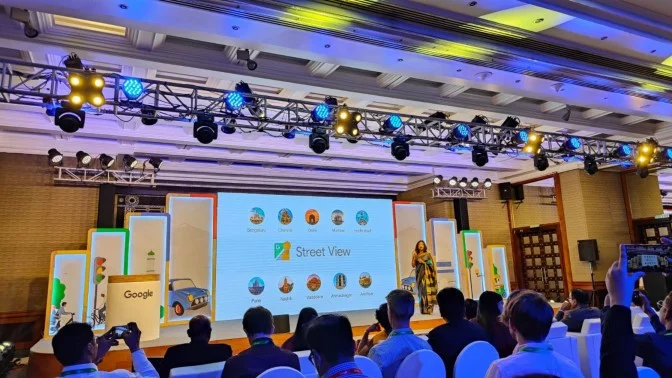
Street View will be available on Google Maps with new footage obtained through local partners covering more than 150,000 kilometers in ten Indian cities, including Bengaluru, Chennai, Delhi, Mumbai, Hyderabad, Pune, Nashik, Vadodara, Ahmednagar, and Amritsar, according to the company. By the end of 2022, Google, Genesys International, and Tech Mahindra hope to have this capability available in more than 50 cities.
Google Maps will soon display speed restrictions information given by the traffic authorities, beginning with Bengaluru, to support local traffic authorities’ efforts to promote safe driving.
As part of its attempts to create models that better optimize traffic signal timings, the IT giant recently announced its partnership with Bengaluru traffic police. This will eventually spread throughout the city and aid the local traffic authority in controlling traffic at crucial crossroads.
In collaboration with regional traffic authorities, Google stated that it would further expand this to Kolkata and Hyderabad.
Leave a Reply
You must be logged in to post a comment.